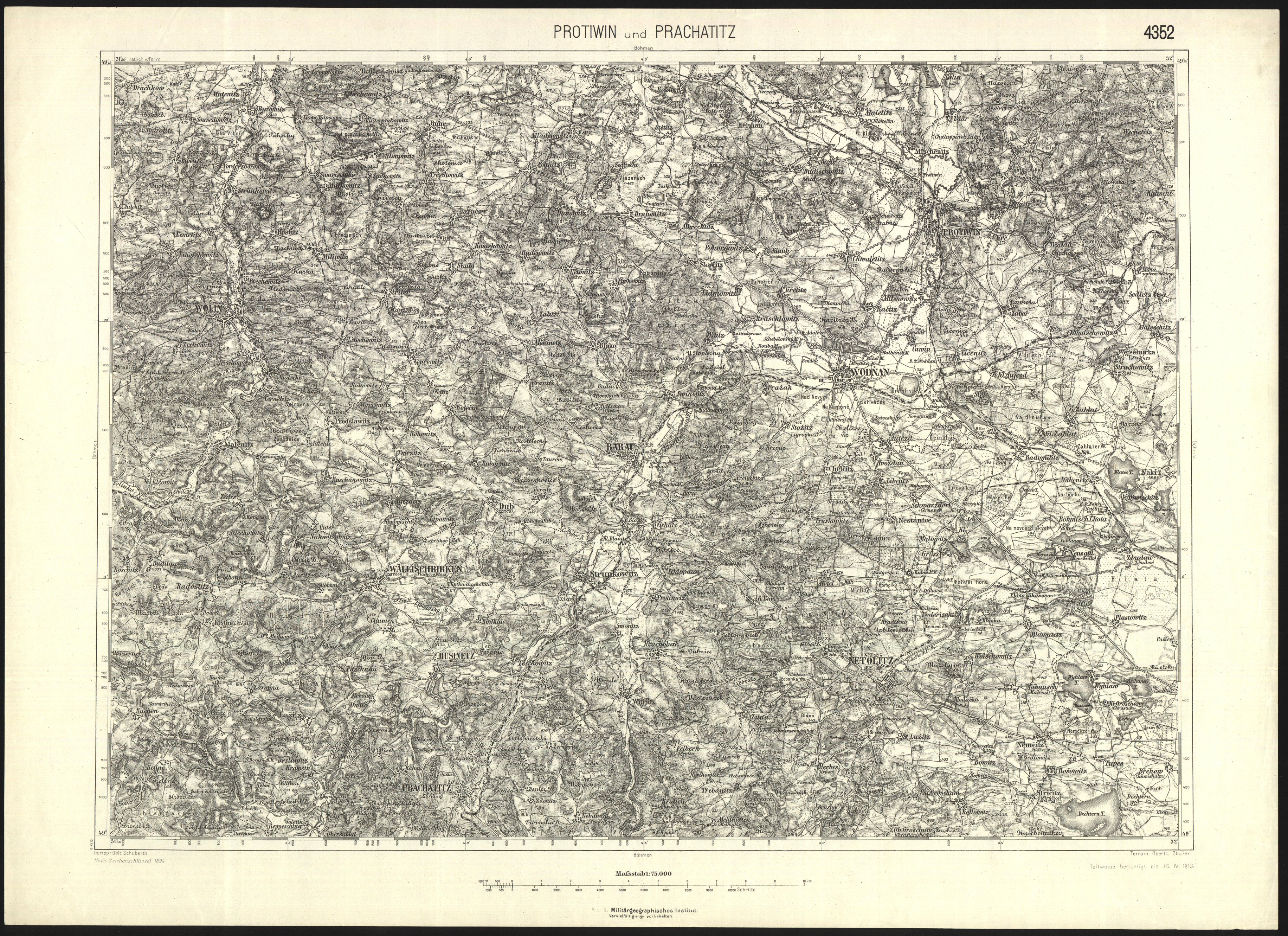
Special Maps 1 : 75 000 from the Third Military Mapping
| Product information | ||
|---|---|---|
 | Name | Special Maps 1 : 75 000 from the Third Military Mapping |
| Commercial code | 63816 | |
| Export unit | map sheet of Special map 1 : 75 000 | |
| Unit price | According to Regulation No 645/2004 Sb. | |
| Export formats | JPEG | |
| Coordinate systems | Souřadnicový systém stabilního katastru transformovaný do souřadnicové soustavy Sansonova-Flamsteedova polyedrického zobrazení | |
| Distribution | 

| |
| Product description | Colour raster copies of various archived publications, so called special maps 1 : 75 000, originally from the Third Austrian Military Mapping. These maps were published in the range of years 1875 – 1952 in Austro-Hungarian Empire and later in Czechoslovakia and other successor states. The territorial extent of the file significantly exceeds boundaries of today's Czech Republic - see the coverage overview: | |
| Update cycle - update state | After scanning of the whole data series the update is further terminated; it is an archival document that is not a subject of update. | |
| Conditions applying to access and use | According to Regulation No 645/2004 Sb. | |
| View data |
Web map application | |
| Data download | ||
| Contact - product information | Land Survey Office, e-mail: ZU-obchod@cuzk.gov.cz | |

Product last update:
2016-11-30
2016-11-30
Information last update:
2025-03-06
2025-03-06


 RSS 2.0 Geoportal ČÚZK