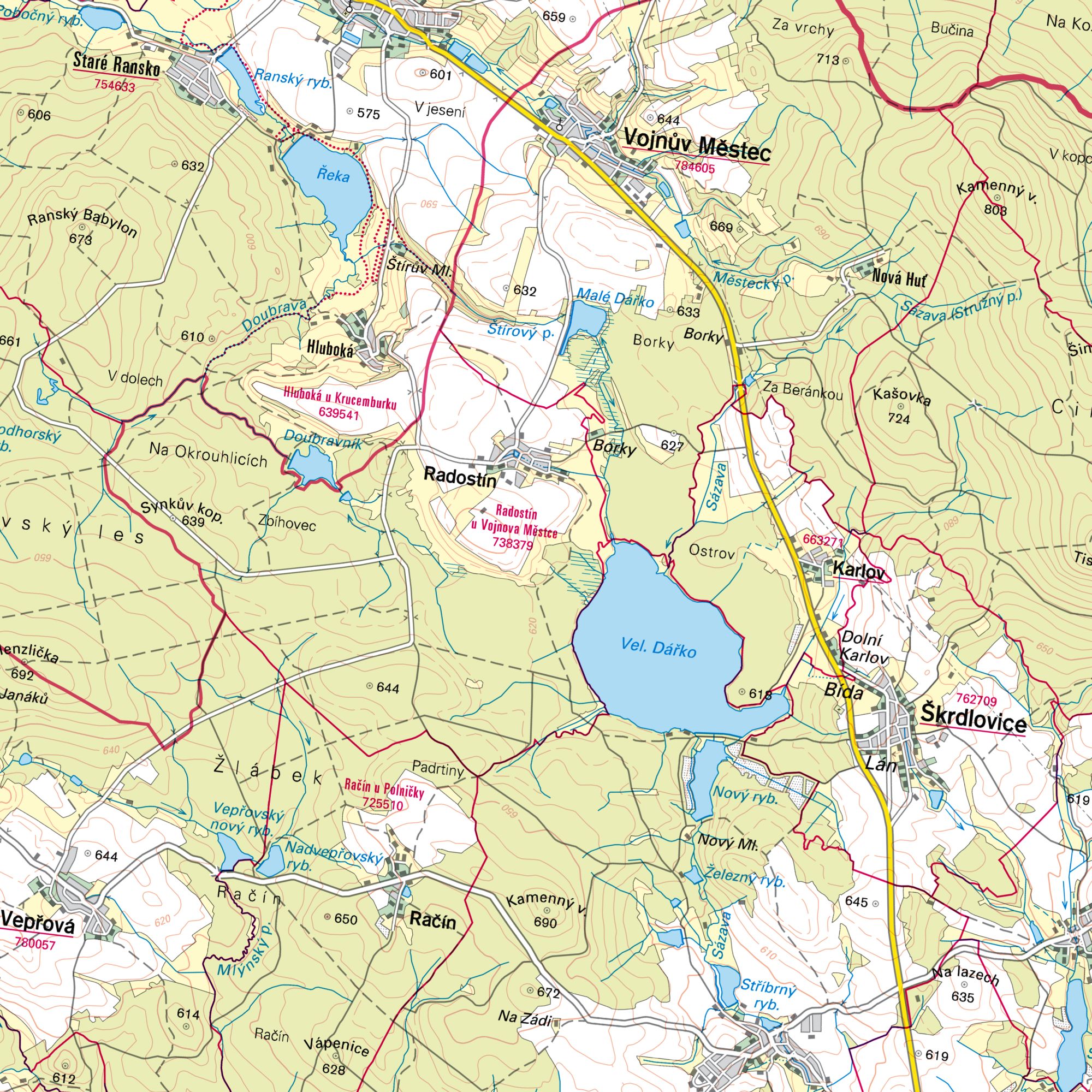
Base map of the Czech Republic 1:50,000
| Product information | ||
|---|---|---|
 | Name | Base map of the Czech Republic 1:50,000 |
| Commercial code | 63819043 | |
| Export unit | ZM 50 map sheet (450 km2) | |
| Unit price | According to Regulation No 645/2004 Sb. | |
| Export formats | ||
| Coordinate systems | S-JTSK / Krovak East North, ETRS89 (geographic 2D) | |
| Distribution | 

| |
| Product description | The Base map of the Czech Republic 1 : 50,000 (ZM 50) was published as a product of the state map work since 1970. From the middle of 2023, it was replaced by the product of the new edition of the state map work, the Base Topographic Map 1 : 50,000 (ZTM 50). Map sheets including out-of-frame data are archived in PDF format with the update status from the last edition of the map before switching to the new SMD edition. | |
| Update cycle - update state | Czech Office for Surveying, Mapping and Cadastre Update state | |
| Conditions applying to access and use | According to Regulation No 645/2004 Sb. | |
| View data |
Web map application | |
| Data download | ||
| Contact - product information | Czech Office for Surveying, Mapping and Cadastre, e-mail: miroslav.kronus@cuzk.gov.cz | |

Product last update:
2019-12-31
2019-12-31
Information last update:
2025-03-06
2025-03-06


 RSS 2.0 Geoportal ČÚZK