

Digitální geografický model území ČR (Data50)
| Informace o produktu | ||
|---|---|---|
 | Název | Digitální geografický model území ČR (Data50) |
| Obchodní kód | Obchodní kód není stanoven | |
| Výdejní jednotka | stát | |
| Cena za jednotku | Bez poplatků | |
| Výdejní formáty | SHP | |
| Souřadnicové systémy | S-JTSK / Krovak East North, ETRS89 / UTM zone 33N (N-E) | |
| Distribuce | 


| |
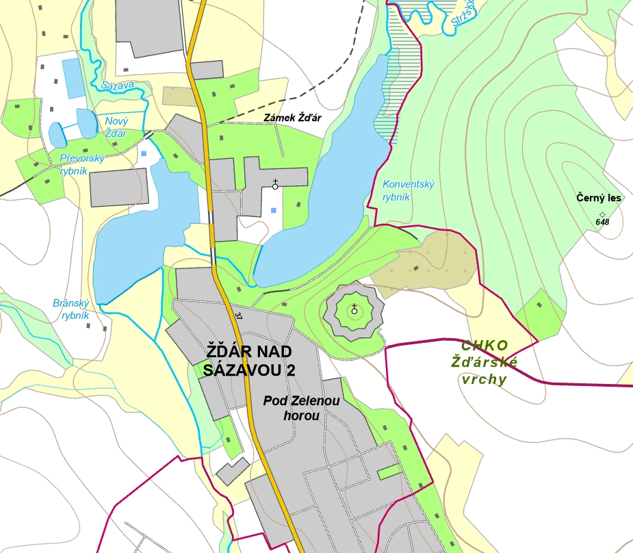
| Popis produktu | Data50 je digitální geografický model území České republiky (ČR) odvozený z kartografické databáze pro Základní topografickou mapu ČR 1 : 50 000. Data jsou poskytována jako otevřená data ve formátu SHP a celkem se skládají z 8 tematických oblastí- Sídelní, kulturní a hospodářské objekty, Komunikace, Produktovody a elektrické vedení, Vodstvo, Hranice územních jednotek, Vegetace a povrch, Terénní reliéf a Popis. | |
| Aktualizační cyklus - stav aktualizace | Celá datová série je pravidelně aktualizována. Každoročně je publikován nový stav, kde na části datové sady odpovídající edičnímu plánu ZTM 50 je provedeno kompletní zpracování podkladových dat a na zbývající části území ČR proběhla aktualizace silničních komunikací a správního členění. Stav silničních komunikací odpovídá 1. 1. 2025, stav správního členění odpovídá 1. 1. 2025. Stav aktualizace | |
| Podmínky přístupu a použití | Bez poplatků Licence Creative Commons CC BY 4.0 Dle Vyhlášky č. 31/1995 Sb. | |
| Prohlížení dat |
Mapová aplikace Služba WMS | |
| Stahování dat |
Stažení dat z adresáře - S-JTSK
Stažení dat z adresáře - ETRS89/TM33N Služba Atom Export výřezu dat Stažení předpřipravených souborů - výběr nad mapou Služba WFS | |
| Kontakt - informace o produktu | Zeměměřický úřad, e-mail: ZU-obchod@cuzk.gov.cz | |
Poslední aktualizace produktu:
2025-05-15
2025-05-15
Poslední aktualizace/revize informací:
2025-06-03
2025-06-03
 RSS 2.0 Geoportál ČÚZK