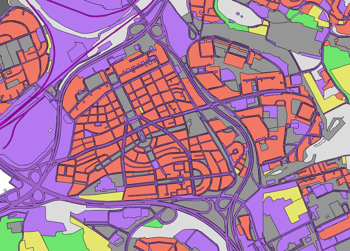
INSPIRE theme Land use (LU)
| Product information | ||
|---|---|---|
 | Name | INSPIRE theme Land use (LU) |
| Commercial code | 63316 | |
| Export unit | country | |
| Unit price | No charges | |
| Export formats | GPKG | |
| Coordinate systems | ETRS89 / UTM zone 33N (N-E) | |
| Distribution | 


| |
| Product description | The INSPIRE - Land use data from application schema Existing land use are harmonised according to INSPIRE Implementing Rules and corresponds with INSPIRE xml schema in version 4.0. The dataset is processed according to the application schema Existing Land Use. This dataset of the land use of the Czech Republic therefore has the unified design with other data created for this INSPIRE theme in frame of whole Europe. The features are represented by a vector component with attributes containing wider information about names. The base dataset is the Fundamental Base of Geographic Data of the Czech Republic (ZABAGED®).Therefore the land use dataset is based on observed reality derived from geographical data. The Hierarchical INSPIRE Land Use Classification System (HILUCS), required by Commission Regulation (EU) No 1089/2010, is used for classification of land use features. | |
| Update cycle - update state | The source data is updated according to the general update cycle. In addition to the general update, there is an continuous update of selected features. Updated versions of derived data INSPIRE - Land use are published at one-year interval. | |
| Conditions applying to access and use | No charges Creative Commons CC BY 4.0 License According to Regulation No 31/1995 Sb. | |
| View data |
Web map application Služba WMS | |
| Data download |
WFS service Atom service Pre-defined files download - selection above the map | |
| Contact - product information | Land Survey Office, e-mail: ZU-obchod@cuzk.gov.cz | |

Product last update:
2023-05-20
2023-05-20
Information last update:
2025-03-06
2025-03-06


 RSS 2.0 Geoportal ČÚZK